The river wyre and its catchment
The Wyre is a short river that flows entirely within Lancashire, the river is formed when the Marshaw Wyre and the Tarnbrook Wyre converge to the south of Abbeystead Reservoir. It then flows south through Garstang before it begins its turn in a north westerly direction to its mouth at Fleetwood. The Wyre Catchment covers a great deal of North Lancashire, covering the vast majority of the Fylde Peninsula and the Amounderness Plain. The Eastern boundary of the catchment sits above Abbeystead on the Bowland Fells while the Southern boundary lies on the edge of Preston taking in Broughton, Whittingham and Goosnargh. There are many habitats to be found along the river, of which, some have been recognised under national and international statutory environmental designations such as the Morecambe Bay RAMSAR site, the Forest of Bowland Area of Outstanding Natural Beauty (AONB) and the Wyre Estuary Site of Special Scientific Interest (SSSI). These habitats support a diverse array of flora and fauna, each of which has a key role to play in the river system as a whole.
The Lower Wyre
The Lower Wyre
The Lower Wyre

The mouth of the Wyre sits between Fleetwood and Knott-End on Sea, at this point the river flows into Morecambe Bay and the Irish Sea. The river ceases to be tidal at St Michaels. The deposition of silt and sand in the estuarine area has lead to the creation of Salt Marsh and Mud Flats. These provide an excellent habitat for a large number of migratory bird species such as the Oyster Catcher (Haematopus ostralegus) and the Shelduck (Tadorna tadorna).
The Mid-Wyre
The Lower Wyre
The Lower Wyre

The mid section of the Wyre takes flows through rural north Lancashire. As the river drops from Dolphinholme it flows behind Scorton and bisects Garstang before meandering its way to St Michaels. This section of the river supports a wide variety of species such as the Brown Trout (Salmo trutta) and the Atlantic Salmon (Salmo salar) as it migrates up the Wyre to spawn. It is at this point that two key tributaries (The rivers Brock and Calder) enter the Wyre.
The Upper Wyre
The Lower Wyre

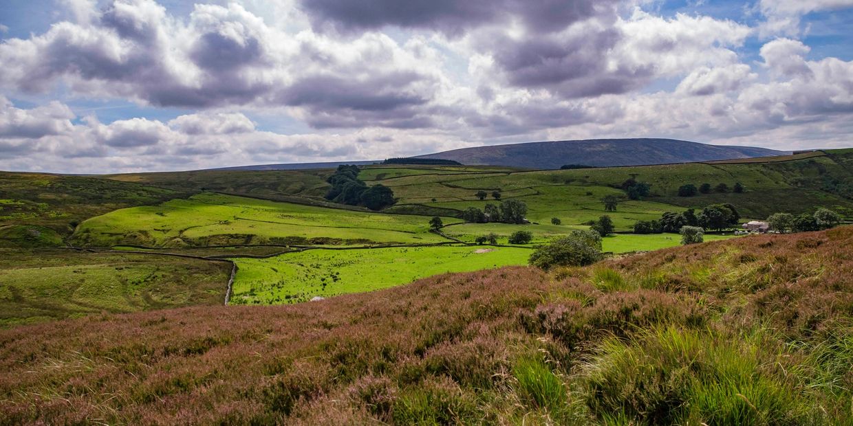
The source of the Wyre sits in the Bowland fells, it is here that the Marshaw Wyre and the Tarnbrook Wyre are formed. The rivers flow west to Abbeystead where they meet to form the River Wyre. The flora and fauna of the upper catchment is varied, the Bowland fells play host to a myriad of raptors and small mammals, whilst the river and its tributaries is home to many key invertebrate species which are a key food source for birds and fish alike.